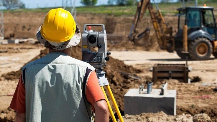
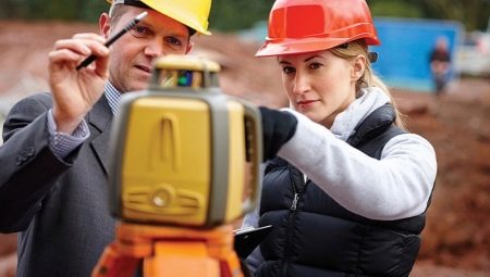
The vacancy of the assistant surveyor is quite adequately presented, as a rule, in those cities that are rapidly developing and actively building up. For a young specialist, this is exactly what is needed; here he will be able to create excellent conditions for his future family. But before you apply for training in this specialty, you need to figure out what it is.
Features
Geodesy as a science deals with determining the exact shape of the Earth and the principles of its display on paper. As you know, our planet has an approximately spherical shape, but maps are drawn on flat paper. Respectively, Initially, a surveyor is a person who was inextricably linked with cartography and understood how to correctly convey uneven terrain on a flat map surface.
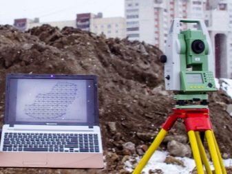
In the modern world, a surveyor is rather an irreplaceable employee on a construction site. His tasks also include determining the shape of the earth, but not on a global scale, but in a limited territory allocated for development. As you know, a perfectly flat and even surface in nature does not exist, and so the task of the surveyor is precisely to create an idea of what kind of terrain is available to the builder.
In fact, an adequate building plan cannot be designed until the designer receives geodetic information about the site. The difference between the surveyor and his assistant, in fact, lies only in the gradation of education - the former usually has a higher education and can work with maps even on the scale of entire regions, while the latter is a simpler specialist and is focused specifically on construction sites.
In principle, construction work is available to both.
Responsibilities
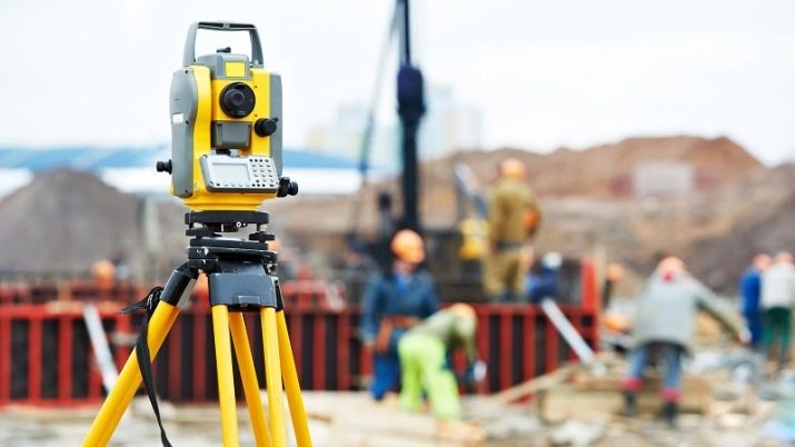
The job description of the assistant surveyor involves a number of tasks that need to be performed daily. Let's try to list them briefly without losing anything:
- performance of geodetic (mapping taking into account elevation) work, cross-checking of existing terrain schemes, checking the project for compliance with the real situation on the site;
- conducting alignment work, marking up the terrain in accordance with the approved development plan;
- regular monitoring of the degree of correctness of the project by workers; in case of a deviation from the norm, the surveyor’s assistant must immediately report this to the chief engineer of the developer;
- assessment of buildings and structures for deformation;
- prompt informing the management of the company about any emergency situations that arose due to the fact that the workers did not observe the geometry of the object;
- final check of the object for compliance with the project and the main geometric conditions, preparation of documentation on the results of such a check;
- selective monitoring of geodetic equipment, periodic verification of instrument and instrument readings by comparison with other similar instruments and tools;
- direct participation in the delivery of the erected structure to the customer, professional confirmation that the object was built in accordance with all the rules and is completely safe;
- control and periodic check of geodetic signs, making corrections to their position, if it was changed due to natural or man-made reasons.
The activities of the assistant surveyor are regulated by a number of documents, among which are government acts and the charter of the employing organization, an employment contract, and so on. In addition to them, the employee must follow the direct directors' instructions regarding his professional sphere of activity.
Surveyor's assistant is obliged to collect and provide geodetic data in a timely manner, taking responsibility for their correctness and accuracy.
Knowledge and skills
The surveyor's assistant is a specialist with a number of specific skills, without which adequate performance of his work is not possible. Having received the appropriate education, you will probably be familiar with all the necessary branches of knowledge, but it will not be superfluous to list what exactly you will have to know. First of all, the surveyor should be familiar with the current government requirements for conducting geodetic work - this is the only way he can work without breaking the law. Undoubtedly, the ability to work with geodetic instruments, as well as the skill of their plausible verification, will be useful.
Modern surveying actively uses computers to get faster and more accurate results.therefore, the surveyor's assistant must be able to use the appropriate computer programs. A professional should have a good knowledge of the mathematical theory for his industry, must understand the methods of surveying the area for different needs and the existing rules for installing geodetic signs - so that their position is as indestructible as possible. Economic component the construction of an object should also not be alien to such an employee - if he has practical considerations on how to reduce the cost of the project without reducing security, he can and should say so.
Among other things the professional is obliged to navigate the related legislation, for example, in the labor industry. In addition, he needs knowledge of labor protection and fire safety rules. Finally, he must be familiar with the charter of the employer and the rules of work adopted by him, act strictly within their framework.

Education
The performance of geodetic work presupposes the existence of a substantial baggage of knowledge and skills, therefore a person without a specialized education in this position will not be able to cope. Another thing is that there are many options for obtaining the appropriate education and you just need to choose where to go.
The profession of an assistant surveyor does not necessarily imply a higher education: in fact, you can learn a specialty even in a construction college. At the same time, much depends on whether you want to work on a construction site, because geodesy and cartography are also needed in other industries, because the same specialty can also be obtained at educational institutions of the polytechnic, cartographic, and meteorological profiles. You need to understand that in each case, you will be trying to make a specialist with a narrow profile, and employers will not always be ready to hire the same surveyor, who was also studying the meteorological profile.
Wherein higher education, naturally, opens up somewhat broader prospects for the graduate - in many cases, he can already work in any direction, one way or another connected with geodesy.
You can find the corresponding specialty in those universities where a geographical faculty is provided, as well as in universities and academies of civil engineering.

Where does it work?
A young specialist with no work experience can be appointed as a surveyor without a category if he has a higher education, in all other cases he becomes an assistant surveyor and will work under someone else's guidance. As for the areas of activity, a lot of options are expected.
Firstly, this is the mapping and planning of the area. This can be either large-scale maps that clarify the topography of the territory, or geodetic diagrams of newly discovered mineral deposits or even meteorological maps that allow for more efficient weather forecasts based on the terrain.
Secondly, this is participation in the construction - from assessing the future construction site for the possibility of implementing a potential project to marking on the ground in accordance with the plan and checking the geometric correctness of construction. It should be understood that the assistant surveyor is involved in the construction of absolutely any objects, and not just buildings - the services of the corresponding specialist are in demand, including when laying roads.
For obvious reasons, surveyors' assistants are more needed where construction is being actively carried out - these are primarily Moscow, St. Petersburg and some other large cities. Nevertheless, one person may well find himself even in the wilderness, if this wilderness is promising, and he was the first in it.
