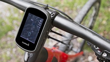
The need to choose a navigator for a bicycle more and more often arises among true fans of tourism and extreme trips. On long journeys, the need for precise coordination of the route is very great. But is it necessary to use separate devices or can you do with the usual features of a smartphone? A review of GPS navigators on Android and iPhone for cyclists quite clearly demonstrates that there are a lot of applications for building a route. But how comfortable and reliable are they?
Features
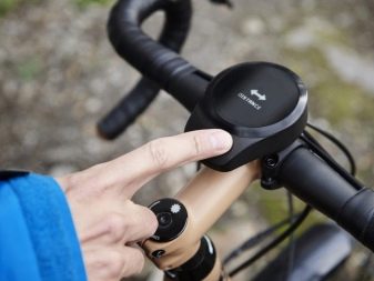
Classic bike navigator - it is a compact device that provides opportunities for the successful construction, laying and tracking of a route. Conventional car options are not good - you need a model with a profile for cyclists. In the city, many users use applications with a voice navigator and are quite satisfied. So what to choose for daily use?
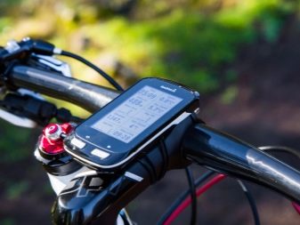
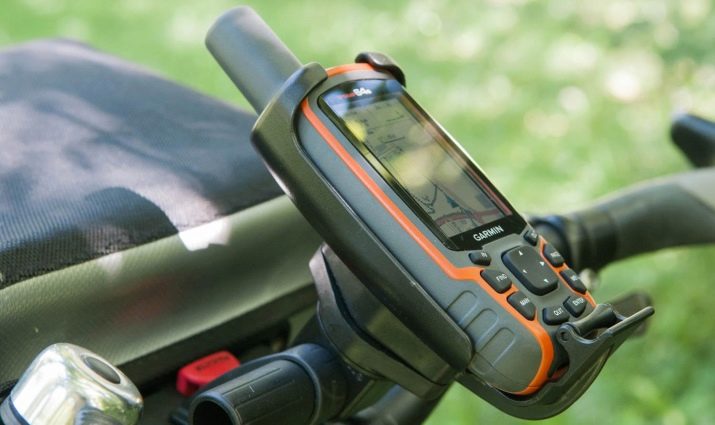
The GPS navigator for cyclists is essentially a classic on-board computer with advanced features. This device is initially adapted to different road conditions, easily tolerates loads, vibration, contact with dust and dirt.
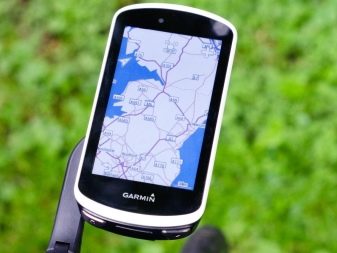
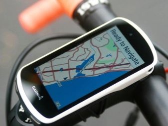
In addition, the bicycle navigator is manufactured by manufacturers in a dust and water tight version, equipped with a special mount for the steering wheel, so that it is constantly located in the visibility range of the rider.
A bike computer with a route-building function should also have additional useful options - downloading maps for offline use, working as a tracker, fixing the distance traveled with the possibility of passing the distance in the opposite direction. Mandatory support for memory cards and a powerful battery that lasts up to 2-7 days without recharging.
For long journeys, it is worth choosing models of navigators powered by batteries or replaceable rechargeable AA batteries. In addition, you need to consider: GLONASS is practically useless for cyclists, it is worth focusing on GPS devices.
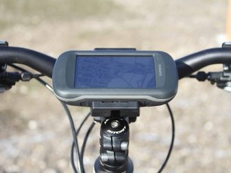
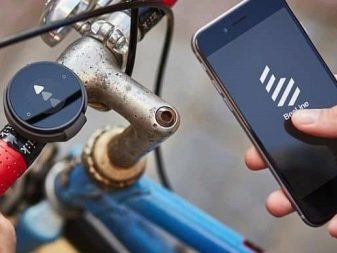
The best models
Among the most popular manufacturers of bicycle navigators, the undisputed leader is the Garmin brand. It is not surprising that the best models, in the opinion of lovers of two-wheeled vehicles themselves, most often find themselves with this particular brand. Consider options that deserve special attention.
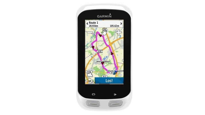
- Garmin EDGE 1000. An expensive minimalist device in a sealed enclosure. The diagonal of the screen is small - 3 inches, the display has good brightness and contrast, a low resolution of 200 × 400 pixels, good sensor sensitivity - you can control functions with gloves on. Mounting is done on the steering wheel, by default there are detailed maps of the Central Federal District and the North-Western Federal District.
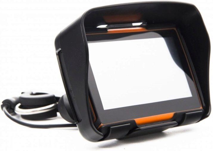
- Prolech MT4301. The Chinese navigator is three times cheaper than Garmin, but with pretty good functionality, it has a capacious battery, a 4.3-inch bright screen, a stylus in the kit, a rain protection shield.
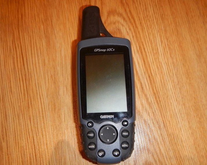
- Garmin GPSMAP 60Cx. Model with a compact screen, no glare, working in bright light. Powered by AA batteries, the case is waterproof, inside the memory card slot. Button control.
What's better?
It is generally accepted that cycle navigators are morally obsolete. Android and iPhone have long had applications that support voice-based command mode, routing programs, and other useful options. So is it worth it to spend money on a separate device? But the classic navigator has advantages.
- Increased housing security. The smartphone may not withstand extreme use.
- Energy saving. The battery is only consumed for important functions.
- Lack of connection to the presence of an Internet connection. If the application does not support offline access, the smartphone simply refuses to build a route. This will not happen with the navigator.
- A wide selection of card types. It is in the navigators and allows you to track topographic, road, water objects.
- Adaptation to movement on a bicycle. Programs for pedestrians or motorists will not work. In addition, the cycling route often lies outside paved trails and paths.
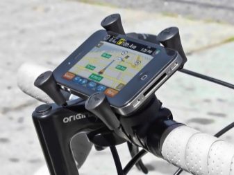
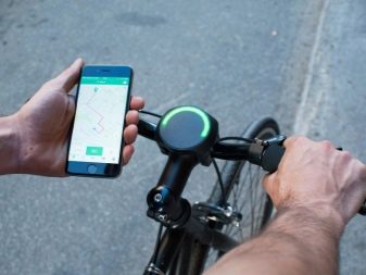
All these points demonstrate that the bicycle navigator still has significant differences from a smartphone with an application that has maps.
Which smartphone is right?
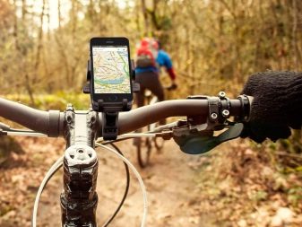
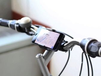
The cost of special GPS navigators for cycling is quite high, which is why many travelers still opt for smartphones. But not every device is suitable for laying a route. To make using your phone convenient, It should have a large screen and touch control. As a fastener, it is better to immediately choose a bracket with a waterproof cover in the kit - it will be placed on the steering wheel. It is necessary to pay attention to the possibility of changing the angle of inclination - it is very important.
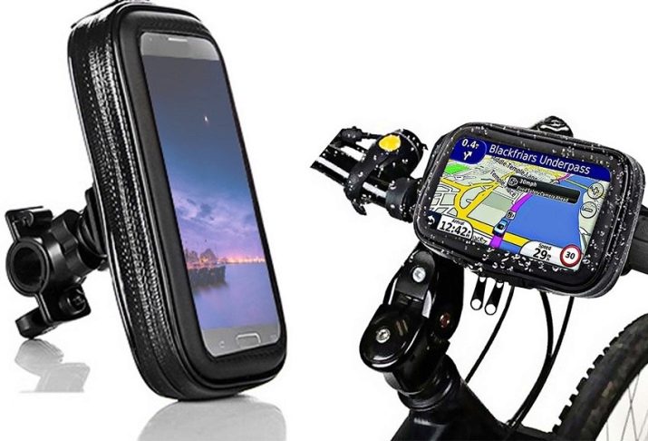
Optimally, if the smartphone will be installed GLONASS, GPS, Assisted GPS sensors. This will improve positioning accuracy. In addition, a magnetic compass will be a useful option. Also, for a smartphone used as a navigator, a capacious memory and a battery of at least 2600 mAh are required. Optimally, if the purchased model will immediately have a housing protected from moisture and dust with plugs.
Programs and applications for iPhone
What navigation apps work successfully on Apple devices? Thanks to user reviews, you can highlight the leaders.
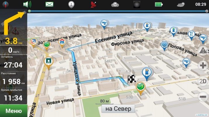
Navitel
An application tested by millions of users.Maps are available by subscription, you can select countries and regions, including in the EU.
Mapsme
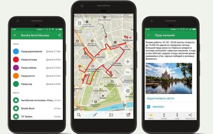
An application that provides continuous and full offline access to detailed maps. It works on the basis of OSM, there is a convenient search tool, everything works completely free and without access to the network.
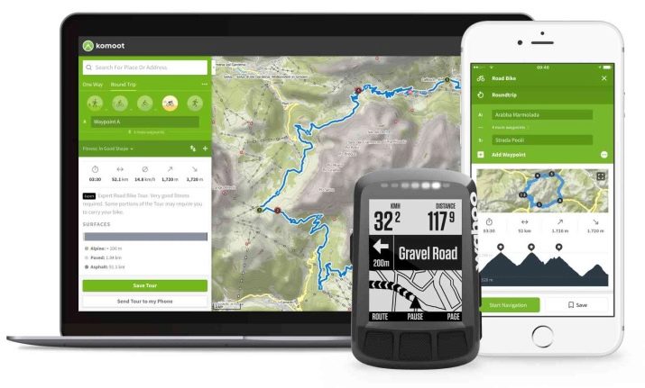
Komoot
Navigator for iOS and Android with free functionality and additional paid options. The navigator is good because from the very beginning it is focused on hiking and cycling, it allows you to build individual routes, record and memorize them.
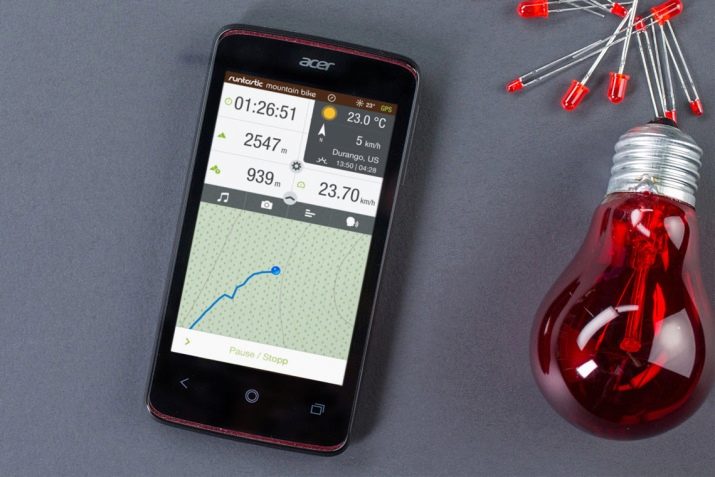
Runtastic Road (Mountain) Bike
An application for cyclists that combines the functionality of a tracker and a navigator. It has a map with GPS coordinates, a voice assistant, the application is compatible with many gadgets. The version for road and mountain bikes differs only in the possibility of building routes outside the network of highways.
What to install on Android
Android smartphones have some advantages over their counterparts running other operating systems. For example, the Yandex. Navigator "with voice control - this is convenient if the route correction is performed while driving. The main problem of the application is the focus on constant access to the network, in the case of trips outside settlements this is a big drawback. But now there is an option for building bike routes.
The Naviki application is also convenient to use - it is aimed specifically at cyclists. Paid cards can be downloaded offline, there is a record for the type of vehicle - mountain, racing (highway).
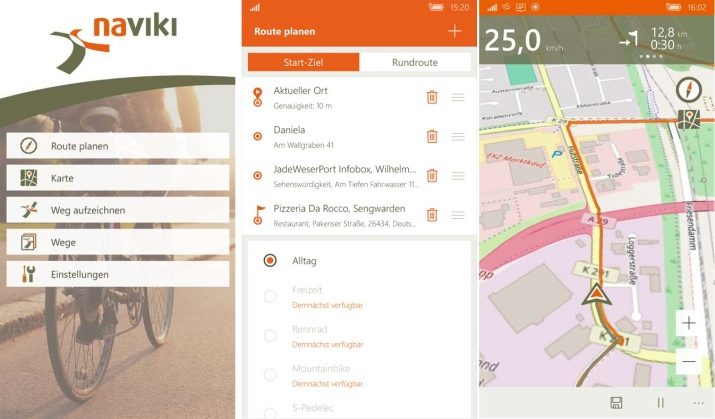
Routes are built in advance, indicating the start and end points, synchronization with a smartphone or tablet is supported.
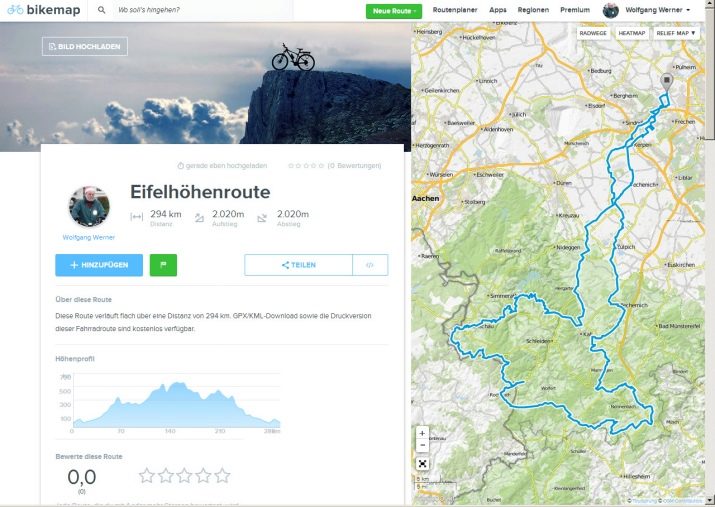
Bikemap 10.10.2 - bike tracker application with extensive support for navigation functions. With it, you can easily draw up your travel plan and follow it. The lack of Russification in the menu does not affect the detail of the available maps. Everything is very detailed, there is a sorting by distance, type of road surface and bicycle.
Selection rules
To choose the right bike navigator, you just need to pay attention to its main characteristics. The most important ones can be noted.
- Reliability of the case. The rubber booster in the kit and shockproof properties will help to save the device in the most extreme situations.
- Moisture resistance. For the expeditionary router, leak tightness and the presence of plugs in port locations are important.
- Fastening strength. It is better if it will be included in the package or will be from the same company as the device itself.
- Type of power source. If you choose a navigator with a Li-ion battery, you need to give preference to options with 1500 mAh or more, otherwise there is a chance that you will have to recharge the device every 6-8 hours. For long trips away from civilization, there is a technique on AA batteries, you can use a battery of this size.
- Ports Need a USB input for software updates, a slot for a memory card, a slot for charging.
- The number of supported card formats. The more of them, the better.
Given all these factors, you can easily find a bike navigator for traveling and trips to the most remote places.
See Xoss Sprint Bicycle Navigator Overview.
